Understanding the latest mapping technologies is essential for any career in environmental science and sustainability. As with all majors at Allegheny, the ESS department is fully equipped with everything students need to work outside and make real contributions to the field.
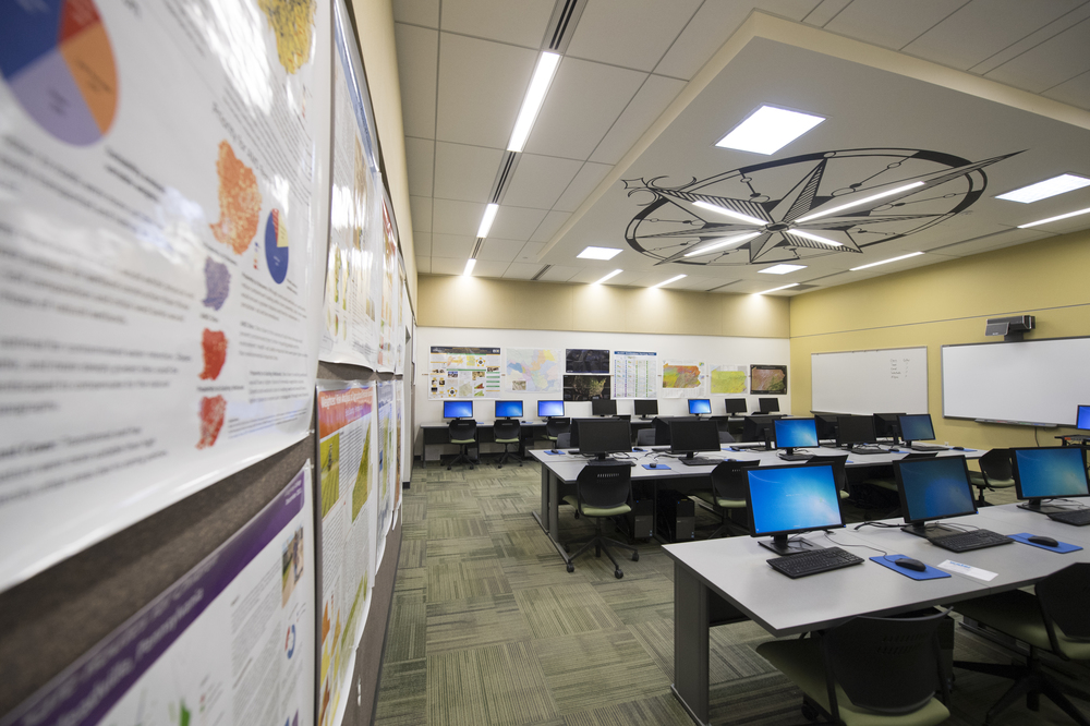
Geographic Information Systems (GIS) are so much more than a tool for creating accurate maps. With speed and precision, they can overlay on other maps to give insight to the relationship between areas. In environmental science, this can provide answers to questions of climate injustice, habitats and ecosystems. Drones enable students and scientists to literally see “the big picture” when it comes to studying everything from waterways to forests. Allegheny is one of the few colleges in the country to have a course specifically designed to teach students how to use these technologies, which enable them to interface with a range of external organizations.
Over the course of 23 years, Christopher Shaffer, GIS manager and instructor, says the ESS program has evolved along with powerful technology to study the environment. Drone usage in particular has brought a level of insight that was previously not possible. Students are equipped with the latest tools, instilling a level of knowledge and sophistication that makes them highly qualified. Since the FAA requires licensure to operate drones, Allegheny provides the training and preparation for national certification. This highly sought after course is offered in tandem with practical training that students say secured them their ideal jobs.